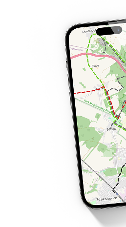
distanz (km)
höhe ü. d. m.
pieszy,
schwarz
806 m
20min
(15min w przeciwnym kierunku)
29 m
1 m
 Szlak Forteczny
  Fort II Jaksmanice
  Polski
 English
 Slovenský


